CÁLCULO DE SUPERFICIE MEDIANTE COORDENADAS UTM. SISTEMA DE IDENTIFICACIÓN DE PARCELAS AGRÍCOLAS (SIGPAC)
Ode navigation
 Loading viewer..
Loading content..
Loading viewer..
Loading content..
284
Bisitak
Jarri zure webgunean
Jarri zure webgunean
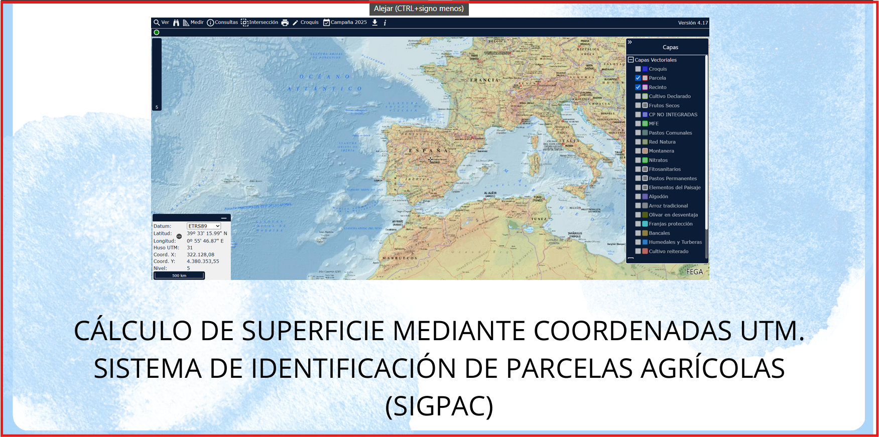
Ejercicio donde se practica el cálculo de distancias y superficie a través del visor Sig Pac y de diferentes métodos , conociendo las coordenadas UTM de diferentes puntos
Ezagutza arloa
Hezkuntza testuingurua
Resource type
Lizentzia mota

Lan hau lizentziapean dago" Creative Commons Attribution-NonCommercial-NoDerivatives 4.0 International License.
Other authors
End user
Alumnado en general
individual
individual
Educative context
Aula
Presencial
Hezkuntza erabilera
español (o castellano)
Ekarpenak
author
graherma
03/05/2025