CÁLCULO DE SUPERFICIE MEDIANTE COORDENADAS UTM. SISTEMA DE IDENTIFICACIÓN DE PARCELAS AGRÍCOLAS (SIGPAC)
Ode navigation
 Loading viewer..
Loading content..
Loading viewer..
Loading content..
283
Visites
Posa-ho a la teva web
Posa-ho a la teva web
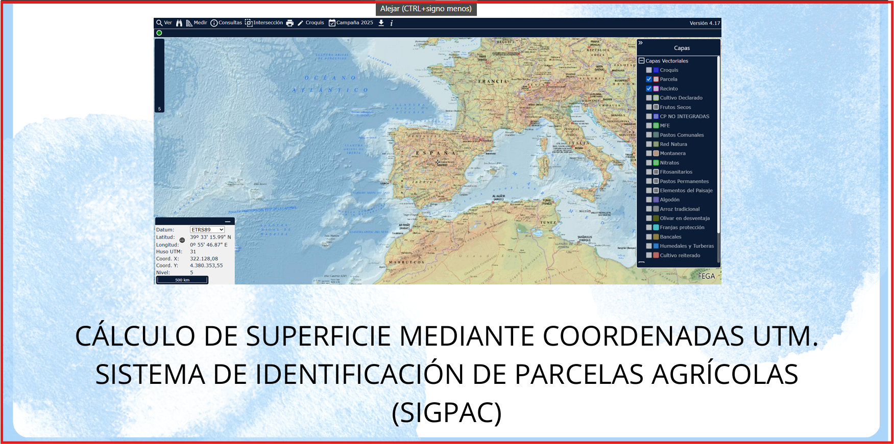
Ejercicio donde se practica el cálculo de distancias y superficie a través del visor Sig Pac y de diferentes métodos , conociendo las coordenadas UTM de diferentes puntos
Àrea de coneixement
Context educatiu
Resource type
Tipus de llicència

Aquesta obra està sota una llicència" Creative Commons Attribution-NonCommercial-NoDerivatives 4.0 International License.
Other authors
End user
Alumnado en general
individual
individual
Educative context
Aula
Presencial
Ús educatiu
español (o castellano)
Contribucions
author
graherma
03/05/2025