UD 1: INTERPRETACIÓN DE PLANOS, FOTOGRAFÍAS AÉREAS Y PLANOS
Ode navigation
 Loading viewer..
Loading content..
Loading viewer..
Loading content..
513
Visits
Put it on your website
Put it on your website
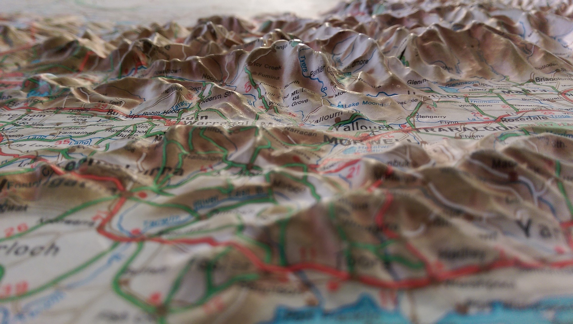
Recurso para el desarrollo de la UD1 del módulo de Topografía Agraria
Knowledge area
Educational context
Resource type
License type

This work is licensed under a Creative Commons Attribution-NonCommercial-ShareAlike 4.0 International License.
Other authors
Jaime Muriana
End user
Alumno en general
individual
individual
Educative context
Aula
Presencial
Educational use
español (o castellano)
Contributions
author
jmurvar034
17/11/2023