ARTÍCULOS
-
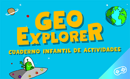
GeoExplorer

GeoExplorer has come to discover the Earth through games to learn astronomy, the interior of the Earth, geography and maps. Draw, colour, cut and learn more with links to other resources. Aimed at students aged from 6 to 12 years. https://www.ign.es/web/resources/acercaDe/libDigPub/Geoexplorer_en.pdf
- mapa
- libro
- astronomía
- tierra
- terremoto
- volcán
- volcanes
- dibujo
- dibujar
- colorear
- recortar
- actividad
- cartografía
- Geografía
- juego
- jugar
- mapa
- país
- província
- región
- gamificación
- continente
- mundo
- mundial
- río
- montaña
- cordillera
- Física
- política
- bandera
- placas tectónicas
- Litosfera
- pico
- cabo
- Golfo
- isla
- archipiélago
- capital
- ciudad
- infantil
- Primaria
Área de conocimientoContexto educativo -
GeoExplorer
GeoExplorer ha venido a descubrir la Tierra a través de juegos para aprender astronomía, el interior de la Tierra, geografía y mapas. Dibuja, colorea, recorta y aprende más con enlaces a otros recursos. Dirigido a estudiantes de entre 6 y 12 años. https://www.ign.es/web/resources/acercaDe/libDigPub/Geoexplorer_es.pdf
- mapa
- libro
- astronomía
- tierra
- terremoto
- volcán
- volcanes
- dibujo
- dibujar
- colorear
- recortar
- actividad
- cartografía
- Geografía
- juego
- jugar
- mapa
- país
- província
- región
- gamificación
- continente
- mundo
- mundial
- río
- montaña
- cordillera
- Física
- política
- bandera
- placa
- tectónica
- Litosfera
- pico
- cabo
- Golfo
- isla
- archipiélago
- capital
- ciudad
- infantil
- Primaria
Área de conocimientoContexto educativo -
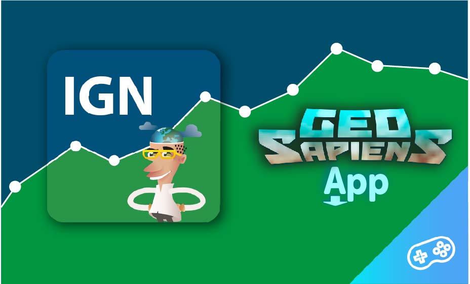
GeoSapiens App

GeoSapiens tests your knowledge of physical, political and landscape geography. Review the names of the main features of land and coastal relief, countries, capitals, regions, flags and much more. It contains games from Spain, by autonomous region, the world and by continent. Play, score points and share your results. Suitable for all ages. English and Spanish. https://www.ign.es/web/ign/portal/dir-aplicaciones-moviles
- ign
- aplicación
- app
- juego
- jugar
- gamificación
- Geografía
- cartografía
- mapa
- comunidad
- autónoma
- país
- província
- región
- regiones
- capital
- Capitales
- municipio
- territorio
- continente
- mundo
- mundial
- río
- relieve
- montaña
- cordillera
- Lago
- Embalse
- Física
- política
- bandera
- Cuenca
- hidrografía
- placas tectónicas
- fosa
- dorsal
- costa
- costero
- pico
- cabo
- Golfo
- isla
- archipiélago
- ciudad
- Zonas
- parque nacional
- natural
- protegido
- regional
- rural
- paisaje
Área de conocimientoContexto educativo -
GeoSapiens App
Aplicación móvil de mapas interactivos para estudiar la geografía física, política y el paisaje de España y el mundo. Es bilingüe en español e inglés y la mayoría de los juegos no requieren conexión a internet. Repasa los nombres de los principales accidentes del relieve terrestre y costero, los países, capitales, regiones, banderas y mucho más. Contiene juegos de España, por comunidad autónoma, del mundo y por continente. Juega y suma puntos. Dirigido a todas las edades. En español e inglés....
- ign
- aplicación
- app
- juego
- jugar
- gamificación
- Geografía
- cartografía
- mapa
- comunidad
- autónoma
- país
- província
- región
- regiones
- capital
- Capitales
- municipio
- territorio
- continente
- mundo
- mundial
- río
- relieve
- montaña
- cordillera
- Lago
- Embalse
- Física
- política
- bandera
- Cuenca
- hidrografía
- placa
- tectónica
- fosa
- dorsal
- costa
- costero
- pico
- cabo
- Golfo
- isla
- archipiélago
- ciudad
- Zonas
- proteger
- parque
- nacional
- natural
- regional
- rural
- paisaje
Área de conocimientoContexto educativo -
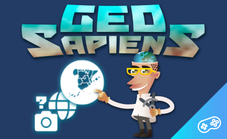
GeoSapiens

GeoSapiens tests your knowledge of physical, political and landscape geography. Review the names of the main features of land and coastal relief, countries, capitals, regions, flags and much more. It contains games from Spain, by autonomous region, the world and by continent. Create your customized game and share it with your class. Play, score points and share your results. Suitable for all ages. https://educativo.ign.es/geosapiens/htm/es/index.html
- aplicación
- cartografía
- comunidad autónoma
- Geografía
- juego
- jugar
- mapa
- país
- província
- región
- regiones
- territorio
- gamificación
- continente
- mundo
- mundial
- río
- montaña
- cordillera
- Lago
- Embalse
- Física
- política
- bandera
- Cuenca
- hidrografía
- placa
- tectónica
- fosa
- dorsal
- costa
- costero
- pico
- cabo
- Golfo
- isla
- archipiélago
- capital
- ciudad
Área de conocimientoContexto educativo -
GeoSapiens
GeoSapiens pone a prueba tus conocimientos sobre geografía física, política y paisaje. Repasa los nombres de los principales accidentes del relieve terrestre y costero, los países, capitales, regiones, banderas y mucho más. Contiene juegos de España, por comunidad autónoma, del mundo y por continente. Dirigido a todas las edades. También se ofrece este recurso en inglés. https://educativo.ign.es/geosapiens/htm/es/index.html
- aplicación
- cartografía
- comunidad autónoma
- Geografía
- juego
- jugar
- mapa
- país
- província
- región
- regiones
- territorio
- gamificación
- continente
- mundo
- mundial
- río
- cordillera
- Lago
- Embalse
- Física
- política
- bandera
- Cuenca
- hidrografía
- placa
- tectónica
- fosa
- dorsal
- costa
- costero
- pico
- cabo
- Golfo
- isla
- archipiélago
- capital
- ciudad
Área de conocimientoContexto educativo -
Geolocation by satellite, what is it and how it works?
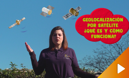
In this video GNSS technology foundations and use are explained, and also how it is used in mobile and in other more accurate applications, such as cartography or Earth dynamics knowledge. The video includes a test as a quiz to check what has been learned, which can be found in the descriptive text located below it. https://www.youtube.com/watch?v=LA3KeMDFIhQ&feature=youtu.be
Área de conocimientoContexto educativo -
El mundo dibujado por los niños. Concurso Internacional Barbara Petchenik
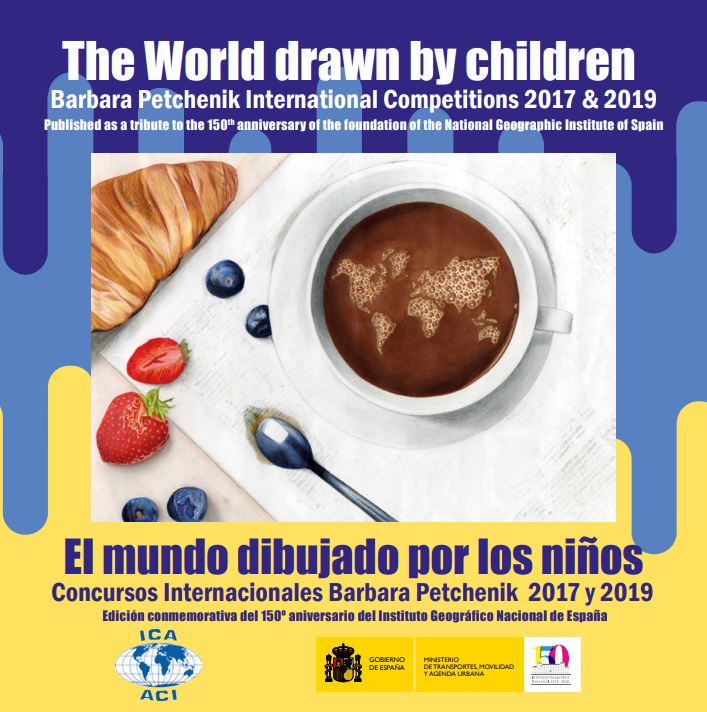
ElInstituto Geográfico Nacional(IGN) y elCentro Nacional de Información Geográfica(CNIG) han hecho coincidir la publicación del libro «The World drawn by children. Barbara Petchenik International Competitions 2017 & 2019 / El mundo dibujado por los niños. Concursos Internacionales Barbara Petchenik 2017 y 2019» con elDía Internacional de la Mujer y la Niña en la Ciencia, pararendir homenajea todas lasmujeres y niñasdedicadas o interesadas en laGeografía y la Cartografía. Suversión digit...
Área de conocimientoContexto educativo