ARTÍCULOS
-
Geolocation by satellite, what is it and how it works?
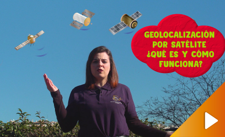
In this video GNSS technology foundations and use are explained, and also how it is used in mobile and in other more accurate applications, such as cartography or Earth dynamics knowledge. The video includes a test as a quiz to check what has been learned, which can be found in the descriptive text located below it. https://www.youtube.com/watch?v=LA3KeMDFIhQ&feature=youtu.be
Área de conocimientoContexto educativo -
Height difference
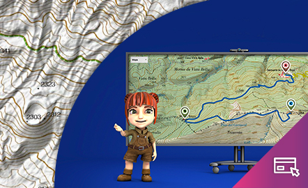
The aim of this interactive teaching and learning resource is to learn to measure the distance between two geographical points on a map and to find out the height difference and the slope between them. With a chosen starting point and destination point, the contour lines are interpreted and a simple calculation is made. Aimed at students aged from 10 to 14 years. https://www.ign.es/recursos-educativos/descubre-territorio/desnivel.html
Área de conocimientoContexto educativo