Drawing a map
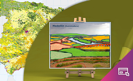
The aim of this interactive teaching and learning resource is to introduce the learner to map-making. A photograph is used as an informative medium related to reality, to transform it into a cartographic product of an abstract nature. The activity consists of defining geographical spaces and identifying the elements and characteristics of the local landscape.
Aimed at students aged from 10 to 12 years.
https://www.ign.es/recursos-educativos/descubre-territorio/corocromatico.html