ARTÍCULOS
-
Geolocation by satellite, what is it and how it works?
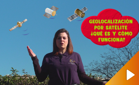
In this video GNSS technology foundations and use are explained, and also how it is used in mobile and in other more accurate applications, such as cartography or Earth dynamics knowledge. The video includes a test as a quiz to check what has been learned, which can be found in the descriptive text located below it. https://www.youtube.com/watch?v=LA3KeMDFIhQ&feature=youtu.be
Área de conocimientoContexto educativo -
El mundo dibujado por los niños. Concurso Internacional Barbara Petchenik
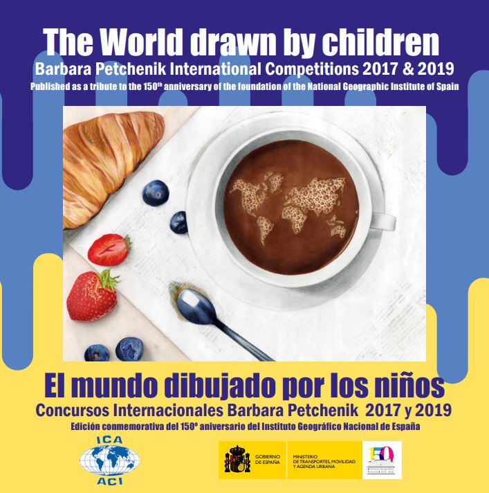
ElInstituto Geográfico Nacional(IGN) y elCentro Nacional de Información Geográfica(CNIG) han hecho coincidir la publicación del libro «The World drawn by children. Barbara Petchenik International Competitions 2017 & 2019 / El mundo dibujado por los niños. Concursos Internacionales Barbara Petchenik 2017 y 2019» con elDía Internacional de la Mujer y la Niña en la Ciencia, pararendir homenajea todas lasmujeres y niñasdedicadas o interesadas en laGeografía y la Cartografía. Suversión digit...
Área de conocimientoContexto educativo