A project of logo Gobierno de España - Ministerio de Educación y Formación Profesional Logo Intef - Instituto Nacional de Tecnología y Formación del Profesorado
language
  • Español
  • Inglés
  • Catalán
  • Gallego
  • Vasco

Help

Ayuda
  • User manual
  • Contact

User account menu

  • Log in
  • Registrarse

logotipo Procomún

Ver filtros
  • Home
  • Articles

Map reading

21/10/2021 Instituto Geográfico Nacional - Centro
public://miniaturalecturademapa2_en.jpg
  • geography; ; Social; science; map; cartography; plan; topographic; national; representation; scale; symbol; cartouche; north; mtn; 25000; 50000; territory; curve; level; elevation; interpret
Knowledge area
  • Geografía
Learning context
  • Educación Primaria
10074 Visits
Share
Facebook Twitter


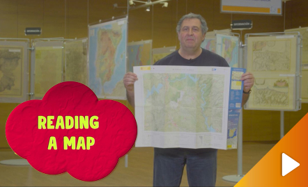
All the clues for understanding symbols, scale and relief of the National Topographic Map are in this video. Year of creation: 2019.

https://www.youtube.com/watch?v=n85PtxeU71k&feature=youtu.be

APP Procomún

icono procomun

App store Google play

Our socials network

Facebook Twitter Youtube
  • About
  • Legal conditions
  • Terms of privacy
  • Cookies policy
  • Accessibility
  • Sitemap

Contact