Instituto Geográfico Nacional - Centro Nacional de Información Geográfica
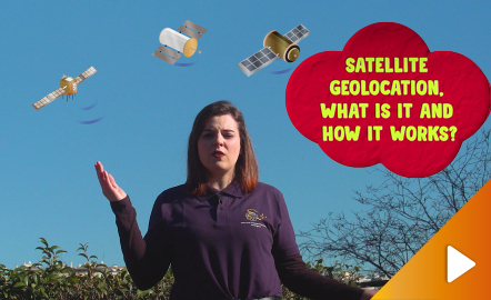
In this video GNSS technology foundations and use are explained, and also how it is used in mobile and in other more accurate applications, such as cartography or Earth dynamics knowledge. Year of creation: 2019.
https://www.youtube.com/watch?v=LA3KeMDFIhQ&feature=youtu.be
Instituto Geográfico Nacional - Centro Nacional de Información Geográfica
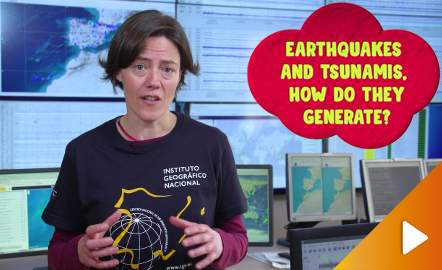
Although talking about earthquakes and tsunamis sounds exotic, they are very common and happen frequently near us. This video shows why they occur, the trigger and where the possibility of an event is higher. Year of creation: 2019.
https://www.youtube.com/watch?v=Pvbf7D2buCM&feature=youtu.be
Instituto Geográfico Nacional - Centro Nacional de Información Geográfica
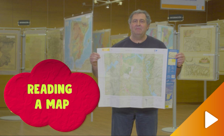
All the clues for understanding symbols, scale and relief of the National Topographic Map are in this video. Year of creation: 2019.
https://www.youtube.com/watch?v=n85PtxeU71k&feature=youtu.be
Instituto Geográfico Nacional - Centro Nacional de Información Geográfica
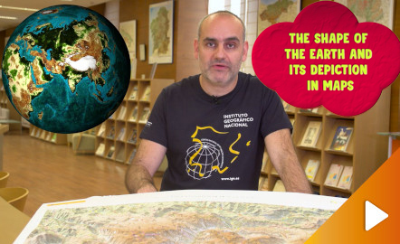
Discover the true shape of the Earth and how cartographic projections allow portray it in a flat surface in different ways depending on the purpose of the map. Year of creation: 2019.
https://www.youtube.com/watch?v=f6iy1lnyEc0&feature=youtu.be
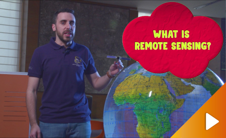
Instituto Geográfico Nacional - Centro Nacional de Información Geográfica
Discover the technology that enables to explore the terrain without being in contact with it.
https://www.youtube.com/watch?v=YGOxPPSfduY&feature=youtu.be
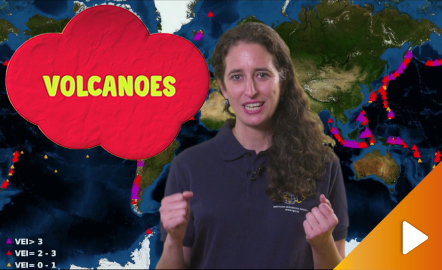
Instituto Geográfico Nacional - Centro Nacional de Información Geográfica
An overview of the types of eruptions, emitted materials and volcanic areas of Spain and the world through stunning videos and images. Year of creation: 2019.
https://www.youtube.com/watch?v=VY1ny7SIn7s&feature=youtu.be
Desde hace varios llevo utilizando las imágenes de una librería llamada openclipart (https://openclipart.org/). Se trata de una web en la que bajo licencia creative commons puedes descargar en diferentes formatos (svg, png, pdf) o que puedes modificar dentro de la misma página. Presenta un sencillo buscador que reconoce las palabras en inglés principalmente. Es muy intuitivo su manejo y las imágenes se pueden usar para diseñar presentaciones, páginas web, actividades, etc.
This video shows how to orient yourself in the field in a traditional way through the use of a map and a compass, and through the use of map applications for mobile devices. Year of creation: 2019.
https://www.youtube.com/watch?v=xE4edPN3OEo&feature=youtu.be
This interactive teaching and learning resource offers the possibility of knowing through maps the territorial inequalities where factors of an economic, political, social and geographic nature converge, giving rise to overwhelming differences in the spatial distribution of the population, of wealth, employment, resources, infrastructures, etc. These inequalities occur on different scales: world, European and national, and are reflected in the fact that some countries have great wealth and ...
This interactive teaching and learning resource offers the possibility of knowing through maps the territorial inequalities where factors of an economic, political, social and geographic nature converge, giving rise to overwhelming differences in the spatial distribution of the population, of wealth, employment, resources, infrastructures, etc. These inequalities occur on different scales: world, European and national, and are reflected in the fact that some countries have great wealth and ...
This interactive teaching and learning resource offers the possibility of knowing through maps the territorial inequalities where factors of an economic, political, social and geographic nature converge, giving rise to overwhelming differences in the spatial distribution of the population, of wealth, employment, resources, infrastructures, etc. These inequalities occur on different scales: world, European and national, and are reflected in the fact that some countries have great wealth and ot...