ARTÍCULOS
-
GeoExplorer

GeoExplorer has come to discover the Earth through games to learn astronomy, the interior of the Earth, geography and maps. Draw, colour, cut and learn more with links to other resources. Aimed at students aged from 6 to 12 years. https://www.ign.es/web/resources/acercaDe/libDigPub/Geoexplorer_en.pdf
- mapa
- libro
- astronomía
- tierra
- terremoto
- volcán
- volcanes
- dibujo
- dibujar
- colorear
- recortar
- actividad
- cartografía
- Geografía
- juego
- jugar
- mapa
- país
- província
- región
- gamificación
- continente
- mundo
- mundial
- río
- montaña
- cordillera
- Física
- política
- bandera
- placas tectónicas
- Litosfera
- pico
- cabo
- Golfo
- isla
- archipiélago
- capital
- ciudad
- infantil
- Primaria
Área de conocimientoContexto educativo -
GeoSapiens App

GeoSapiens tests your knowledge of physical, political and landscape geography. Review the names of the main features of land and coastal relief, countries, capitals, regions, flags and much more. It contains games from Spain, by autonomous region, the world and by continent. Play, score points and share your results. Suitable for all ages. English and Spanish. https://www.ign.es/web/ign/portal/dir-aplicaciones-moviles
- ign
- aplicación
- app
- juego
- jugar
- gamificación
- Geografía
- cartografía
- mapa
- comunidad
- autónoma
- país
- província
- región
- regiones
- capital
- Capitales
- municipio
- territorio
- continente
- mundo
- mundial
- río
- relieve
- montaña
- cordillera
- Lago
- Embalse
- Física
- política
- bandera
- Cuenca
- hidrografía
- placas tectónicas
- fosa
- dorsal
- costa
- costero
- pico
- cabo
- Golfo
- isla
- archipiélago
- ciudad
- Zonas
- parque nacional
- natural
- protegido
- regional
- rural
- paisaje
Área de conocimientoContexto educativo -
GeoSapiens

GeoSapiens tests your knowledge of physical, political and landscape geography. Review the names of the main features of land and coastal relief, countries, capitals, regions, flags and much more. It contains games from Spain, by autonomous region, the world and by continent. Create your customized game and share it with your class. Play, score points and share your results. Suitable for all ages. https://educativo.ign.es/geosapiens/htm/es/index.html
- aplicación
- cartografía
- comunidad autónoma
- Geografía
- juego
- jugar
- mapa
- país
- província
- región
- regiones
- territorio
- gamificación
- continente
- mundo
- mundial
- río
- montaña
- cordillera
- Lago
- Embalse
- Física
- política
- bandera
- Cuenca
- hidrografía
- placa
- tectónica
- fosa
- dorsal
- costa
- costero
- pico
- cabo
- Golfo
- isla
- archipiélago
- capital
- ciudad
Área de conocimientoContexto educativo -
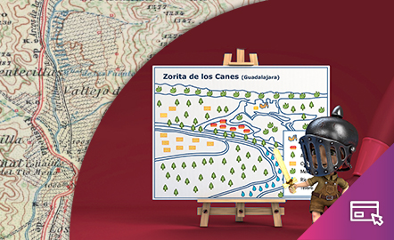
Map reading
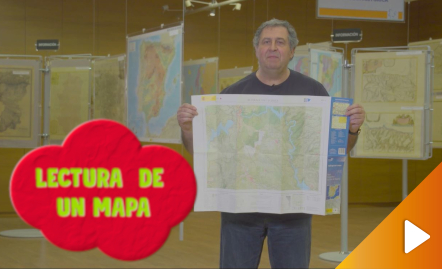
All the clues for understanding symbols, scale and relief of the National Topographic Map are in this video. The video includes a test as a quiz to check what has been learned, which can be found in the descriptive text located below it. https://youtu.be/kx2Bit8te1s
Área de conocimientoContexto educativo -
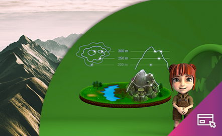
Height difference
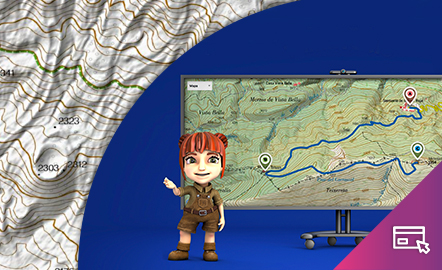
The aim of this interactive teaching and learning resource is to learn to measure the distance between two geographical points on a map and to find out the height difference and the slope between them. With a chosen starting point and destination point, the contour lines are interpreted and a simple calculation is made. Aimed at students aged from 10 to 14 years. https://www.ign.es/recursos-educativos/descubre-territorio/desnivel.html
Área de conocimientoContexto educativo -
Orienteering
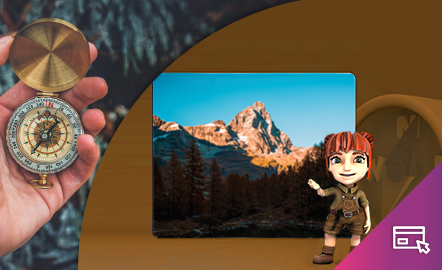
The aim of this interactive teaching and learning resource is to introduce the user, through entertaining activities, to the use of a basic instrument for geographical orienteering, the compass. The method followed consists of setting small challenges that are easily answered, with the aim of favouring the learning process. Aimed at students aged from 10 to 12 years. https://www.ign.es/recursos-educativos/descubre-territorio/brujula.html
Área de conocimientoContexto educativo -
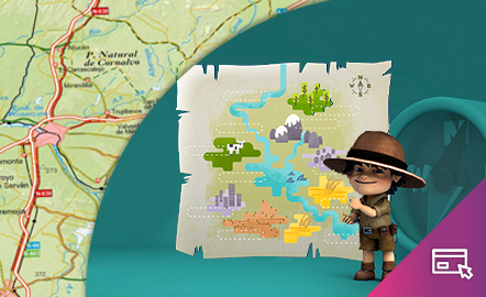
Drawing a map

The aim of this interactive teaching and learning resource is to introduce the learner to map-making. A photograph is used as an informative medium related to reality, to transform it into a cartographic product of an abstract nature. The activity consists of defining geographical spaces and identifying the elements and characteristics of the local landscape. Aimed at students aged from 10 to 12 years. https://www.ign.es/recursos-educativos/descubre-territorio/corocromatico.html
Área de conocimientoContexto educativo -
Geographical names
This interactive teaching and learning resource looks at the importance of geographical names in the representation of territory. On maps, toponyms, in addition to identifying and locating places, give us information according to the size, colour and type of letters used. The method used makes it possible to set small challenges that are easily answered, with the aim of favouring the learning process. Aimed at students aged from 10 to 12 years. https://www.ign.es/recursos-educativos/de...
Área de conocimientoContexto educativo -
Map symbols
This interactive teaching and learning resource is aimed at introducing the user to map-making based on a photograph, an element that requires an abstract thought process. The elements are represented via symbols, designed by seeking the closest connection to the reality they are going to replace, taken from a photograph. The method used makes it possible to set small challenges that are easily answered, with the aim of favouring the learning process. Aimed at students aged from 10 to 14 y...
Área de conocimientoContexto educativo -
Elevation
This interactive teaching and learning resource helps us to discover the third dimension in mapping. The use of contour lines enables us to represent relief and to read it as a key element in mapping. The method used consists of setting small challenges that are easily answered, with the aim of favouring the learning process. Aimed at students aged from 12 to 16 years. https://www.ign.es/recursos-educativos/descubre-territorio/altitud.html
Área de conocimientoContexto educativo -
DESCUBRE EL TERRITORIO AHORA TAMBIÉN EN INGLÉS
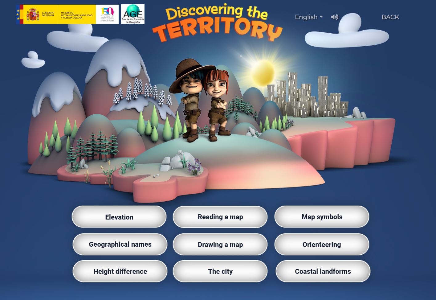
Esta aplicación interactiva incluye nueve píldoras o materiales educativos independientes encaminados al aprendizaje de la geografía y la cartografía de forma lúdica, sobre temas como la altitud, la orientación, la lectura de un mapa y los topónimos, entre otros, dirigido a las etapas educativas de primaria y secundaria. Se ofrecen explicaciones y juegos en un entorno atractivo y divertido. Desde este momento se pueden utilizar tanto en castellano como en inglés Se trata de un estupendo ma...
Área de conocimientoContexto educativo -
Earthquakes and tsunamis, how do they generate?
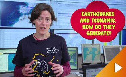
Although talking about earthquakes and tsunamis sounds exotic, they are very common and happen frequently near us. This video shows why they occur, the trigger and where the possibility of an event is higher. Year of creation: 2019. https://www.youtube.com/watch?v=Pvbf7D2buCM&feature=youtu.be
Área de conocimiento -
Volcanoes
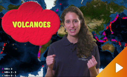
An overview of the types of eruptions, emitted materials and volcanic areas of Spain and the world through stunning videos and images. Year of creation: 2019. https://www.youtube.com/watch?v=VY1ny7SIn7s&feature=youtu.be
-
What is remote sensing?
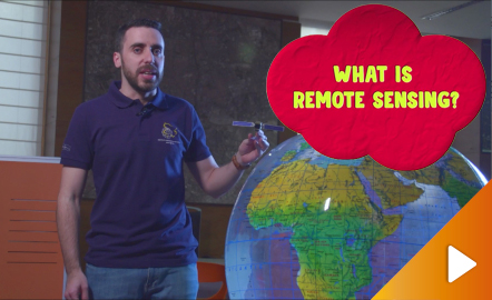
Discover the technology that enables to explore the terrain without being in contact with it. https://www.youtube.com/watch?v=YGOxPPSfduY&feature=youtu.be
Área de conocimiento -
The shape of the Earth and its portrait in maps
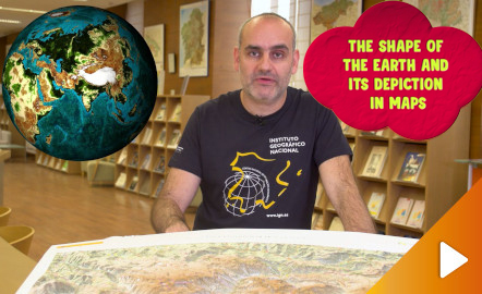
Discover the true shape of the Earth and how cartographic projections allow portray it in a flat surface in different ways depending on the purpose of the map. Year of creation: 2019. https://www.youtube.com/watch?v=f6iy1lnyEc0&feature=youtu.be
Área de conocimiento -
Map reading
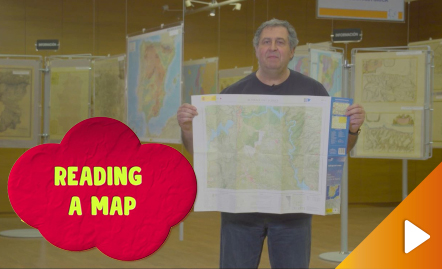
All the clues for understanding symbols, scale and relief of the National Topographic Map are in this video. Year of creation: 2019. https://www.youtube.com/watch?v=n85PtxeU71k&feature=youtu.be
Área de conocimiento