ARTIGOS
-
Height difference
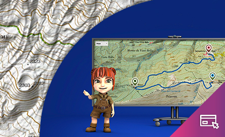
The aim of this interactive teaching and learning resource is to learn to measure the distance between two geographical points on a map and to find out the height difference and the slope between them. With a chosen starting point and destination point, the contour lines are interpreted and a simple calculation is made. Aimed at students aged from 10 to 14 years. https://www.ign.es/recursos-educativos/descubre-territorio/desnivel.html
Área de coñecementoContexto educativo -
Orienteering
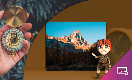
The aim of this interactive teaching and learning resource is to introduce the user, through entertaining activities, to the use of a basic instrument for geographical orienteering, the compass. The method followed consists of setting small challenges that are easily answered, with the aim of favouring the learning process. Aimed at students aged from 10 to 12 years. https://www.ign.es/recursos-educativos/descubre-territorio/brujula.html
Área de coñecementoContexto educativo -
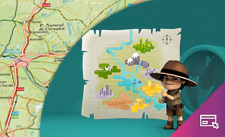
Drawing a map

The aim of this interactive teaching and learning resource is to introduce the learner to map-making. A photograph is used as an informative medium related to reality, to transform it into a cartographic product of an abstract nature. The activity consists of defining geographical spaces and identifying the elements and characteristics of the local landscape. Aimed at students aged from 10 to 12 years. https://www.ign.es/recursos-educativos/descubre-territorio/corocromatico.html
Área de coñecementoContexto educativo -
Geographical names
This interactive teaching and learning resource looks at the importance of geographical names in the representation of territory. On maps, toponyms, in addition to identifying and locating places, give us information according to the size, colour and type of letters used. The method used makes it possible to set small challenges that are easily answered, with the aim of favouring the learning process. Aimed at students aged from 10 to 12 years. https://www.ign.es/recursos-educativos/de...
Área de coñecementoContexto educativo -
Map symbols
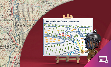
This interactive teaching and learning resource is aimed at introducing the user to map-making based on a photograph, an element that requires an abstract thought process. The elements are represented via symbols, designed by seeking the closest connection to the reality they are going to replace, taken from a photograph. The method used makes it possible to set small challenges that are easily answered, with the aim of favouring the learning process. Aimed at students aged from 10 to 14 y...
Área de coñecementoContexto educativo -
Spain, 8,000 kilometres of coastline
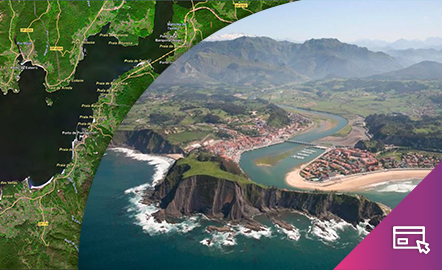
This interactive teaching and learning resource enable us to discover the coastal landforms of Spain, its landscapes and coastal accidents. Coastal features are described: bays, capes, lagoons, beaches, cliffs, coves, marshes, rias, estuaries, etc. On the one hand, geomorphological concepts are dealt with by looking at elements of coastal relief. On the other hand, the use of the National Geographic Information System (SignA), shows the Spain's natural and geomorphological heritage. Aimed ...
Área de coñecementoContexto educativo -
Elevation
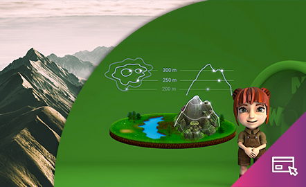
This interactive teaching and learning resource helps us to discover the third dimension in mapping. The use of contour lines enables us to represent relief and to read it as a key element in mapping. The method used consists of setting small challenges that are easily answered, with the aim of favouring the learning process. Aimed at students aged from 12 to 16 years. https://www.ign.es/recursos-educativos/descubre-territorio/altitud.html
Área de coñecementoContexto educativo