ARTIKULUAK
Emaitzak erakusten 1 2 2 guztira
-
Map reading
All the clues for understanding symbols, scale and relief of the National Topographic Map are in this video. The video includes a test as a quiz to check what has been learned, which can be found in the descriptive text located below it. https://youtu.be/kx2Bit8te1s
Jakintza-arloHezkuntza-testuingurua -
Elevation
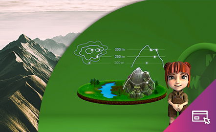
This interactive teaching and learning resource helps us to discover the third dimension in mapping. The use of contour lines enables us to represent relief and to read it as a key element in mapping. The method used consists of setting small challenges that are easily answered, with the aim of favouring the learning process. Aimed at students aged from 12 to 16 years. https://www.ign.es/recursos-educativos/descubre-territorio/altitud.html
Jakintza-arloHezkuntza-testuingurua