ARTIKULUAK
-
Geographical names
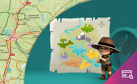
This interactive teaching and learning resource looks at the importance of geographical names in the representation of territory. On maps, toponyms, in addition to identifying and locating places, give us information according to the size, colour and type of letters used. The method used makes it possible to set small challenges that are easily answered, with the aim of favouring the learning process. Aimed at students aged from 10 to 12 years. https://www.ign.es/recursos-educativos/de...
Jakintza-arloHezkuntza-testuingurua -
Elevation
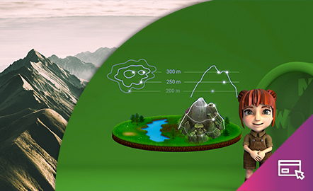
This interactive teaching and learning resource helps us to discover the third dimension in mapping. The use of contour lines enables us to represent relief and to read it as a key element in mapping. The method used consists of setting small challenges that are easily answered, with the aim of favouring the learning process. Aimed at students aged from 12 to 16 years. https://www.ign.es/recursos-educativos/descubre-territorio/altitud.html
Jakintza-arloHezkuntza-testuingurua