ARTIKULUAK
-
Volcanoes
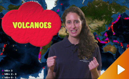
An overview of the types of eruptions, emitted materials and volcanic areas of Spain and the world through stunning videos and images. Year of creation: 2019. https://www.youtube.com/watch?v=VY1ny7SIn7s&feature=youtu.be
-
What is remote sensing?
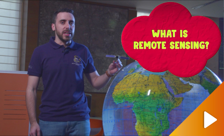
Discover the technology that enables to explore the terrain without being in contact with it. https://www.youtube.com/watch?v=YGOxPPSfduY&feature=youtu.be
Jakintza-arlo -
The shape of the Earth and its portrait in maps
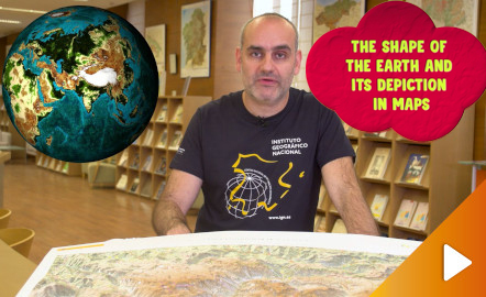
Discover the true shape of the Earth and how cartographic projections allow portray it in a flat surface in different ways depending on the purpose of the map. Year of creation: 2019. https://www.youtube.com/watch?v=f6iy1lnyEc0&feature=youtu.be
Jakintza-arlo -
Earthquakes and tsunamis, how do they generate?
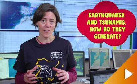
Although talking about earthquakes and tsunamis sounds exotic, they are very common and happen frequently near us. This video shows why they occur, the trigger and where the possibility of an event is higher. Year of creation: 2019. https://www.youtube.com/watch?v=Pvbf7D2buCM&feature=youtu.be
Jakintza-arlo -
Map reading
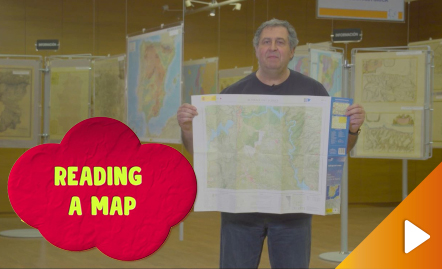
All the clues for understanding symbols, scale and relief of the National Topographic Map are in this video. Year of creation: 2019. https://www.youtube.com/watch?v=n85PtxeU71k&feature=youtu.be
Jakintza-arlo


