ARTÍCULOS
-
Map reading
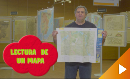
All the clues for understanding symbols, scale and relief of the National Topographic Map are in this video. The video includes a test as a quiz to check what has been learned, which can be found in the descriptive text located below it. https://youtu.be/kx2Bit8te1s
Área de conocimientoContexto educativo -
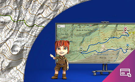
Height difference

The aim of this interactive teaching and learning resource is to learn to measure the distance between two geographical points on a map and to find out the height difference and the slope between them. With a chosen starting point and destination point, the contour lines are interpreted and a simple calculation is made. Aimed at students aged from 10 to 14 years. https://www.ign.es/recursos-educativos/descubre-territorio/desnivel.html
Área de conocimientoContexto educativo -
El desnivel
Este recurso interactivo y didáctico tiene como objetivo aprender a medir sobre un mapa la distancia entre dos puntos geográficos y conocer el desnivel y la pendiente que existe entre ellos. Con un punto de partida y otro de llegada elegidos, se interpretan las curvas de nivel y se realiza un sencillo cálculo. Dirigido a estudiantes de edades entre 10 y 14 años. Actualizado en 2020. También se ofrece este recurso en inglés. https://www.ign.es/recursos-educativos/descubre-territorio/d...
Área de conocimientoContexto educativo -
El mapa: principio y fin del camino
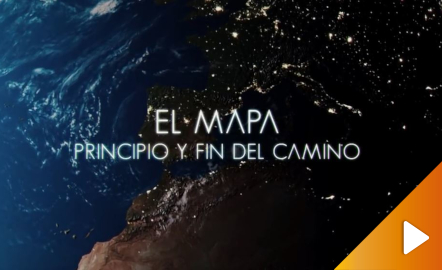
Aprende con nosotros el proceso de elaboración de un mapa. Vídeo que describe las principales características de los mapas, respondiendo a preguntas del tipo qué son los mapas, cómo se hacen, para que sirven y cómo están disponibles para su uso tanto en papel como en visualizadores web y aplicaciones móviles del IGN y CNIG. https://youtu.be/NDz9-8LV3PI
Área de conocimientoContexto educativo