ARTÍCULOS
-
Orientation in the field with map, compass and apps
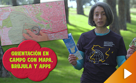
This video shows how to orient yourself in the field in a traditional way through the use of a map and a compass, and through the use of map applications for mobile devices. The video includes a test as a quiz to check what has been learned, which can be found in the descriptive text located below it. https://www.youtube.com/watch?v=xE4edPN3OEo&feature=youtu.be
Área de conocimientoContexto educativo -
Geolocation by satellite, what is it and how it works?

In this video GNSS technology foundations and use are explained, and also how it is used in mobile and in other more accurate applications, such as cartography or Earth dynamics knowledge. The video includes a test as a quiz to check what has been learned, which can be found in the descriptive text located below it. https://www.youtube.com/watch?v=LA3KeMDFIhQ&feature=youtu.be
Área de conocimientoContexto educativo -
La forma de la Tierra y su representación en mapas
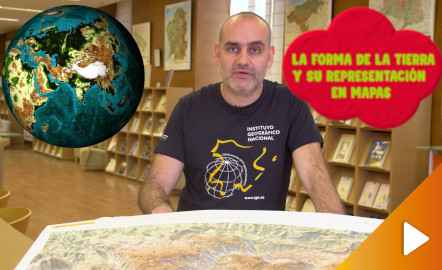
¿Aún piensas que la Tierra es plana? Descubre cómo es la verdadera forma de la Tierra y cómo las proyecciones cartográficas permiten representarla en una superficie plana de diferentes maneras según la finalidad del mapa. Año de creación: 2019. https://youtu.be/SzHh7sdjEUo
Área de conocimientoContexto educativo -
Geolocalización por satélite, ¿qué es y cómo funciona?
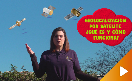
¿Cómo funciona la ubicación de las aplicaciones móviles? En este video se explican de forma sencilla los fundamentos del GNSS y cómo se emplea para estas aplicaciones y otras que requieren mayores precisiones, como la cartografía o el conocimiento de la dinámica terrestre. Año de creación: 2019. https://youtu.be/uOfZo6ilhIw
Área de conocimientoContexto educativo