ARTICLES
-
Map symbols
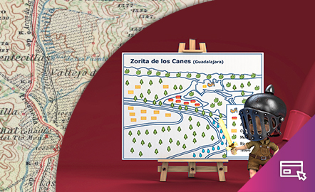
This interactive teaching and learning resource is aimed at introducing the user to map-making based on a photograph, an element that requires an abstract thought process. The elements are represented via symbols, designed by seeking the closest connection to the reality they are going to replace, taken from a photograph. The method used makes it possible to set small challenges that are easily answered, with the aim of favouring the learning process. Aimed at students aged from 10 to 14 y...
Àrea de coneixementContext educatiu -
Símbolos cartográficos

Este recurso interactivo y didáctico está encaminado a iniciar al usuario en la elaboración cartográfica a partir de una fotografía, elemento que requiere un proceso cognitivo de abstracción. Los elementos se representan a través de símbolos, diseñados buscando la mayor conexión con la realidad a la que van a sustituir, recogida en una fotografía. El método utilizado permite plantear pequeños retos fáciles de responder con el objetivo de favorecer el aprendizaje. Dirigido a estudiantes de ...
Àrea de coneixementContext educatiu -
Elevation

This interactive teaching and learning resource helps us to discover the third dimension in mapping. The use of contour lines enables us to represent relief and to read it as a key element in mapping. The method used consists of setting small challenges that are easily answered, with the aim of favouring the learning process. Aimed at students aged from 12 to 16 years. https://www.ign.es/recursos-educativos/descubre-territorio/altitud.html
Àrea de coneixementContext educatiu -
La altitud
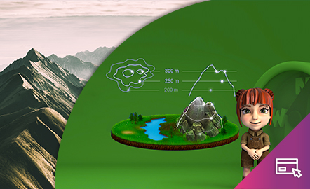
Este recurso interactivo y didáctico permite descubrir la tercera dimensión en la cartografía. La técnica de las curvas de nivel permite hacer la representación del relieve y la lectura del mismo como elemento clave en la cartografía. El método utilizado permite plantear pequeños retos fáciles de responder con el objetivo de favorecer el aprendizaje. Dirigido a estudiantes de entre 12 y 16 años. Actualizado en 2020. También se ofrece este recurso en inglés. https://www.ign.es/recu...
Àrea de coneixementContext educatiu -
¿Qué es la Teledetección?
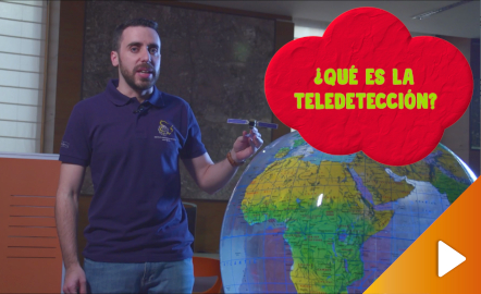
Descubre la tecnología que permite explorar el terreno sin contacto directo con él. Un recorrido por las técnicas más actuales con satélites y plataformas aerotransportadas para la captura de información geográfica, utilizada en el estudio del territorio y sus cambios. Año 2019. https://youtu.be/F69Q64zfxLU
Àrea de coneixement