Instituto Geográfico Nacional - Centro Nacional de Información Geográfica
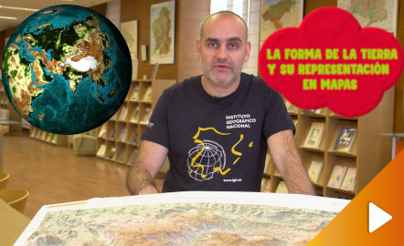
¿Aún piensas que la Tierra es plana?
Descubre cómo es la verdadera forma de la Tierra y cómo las proyecciones cartográficas permiten representarla en una superficie plana de diferentes maneras según la finalidad del mapa. Año de creación: 2019.
https://youtu.be/SzHh7sdjEUo
Instituto Geográfico Nacional - Centro Nacional de Información Geográfica
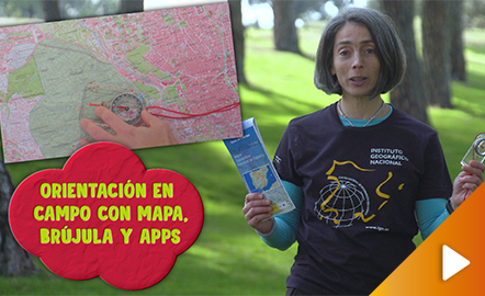
¿Alguna vez te has sentido perdido en el campo?
Este vídeo muestra cómo orientarse en el campo de forma tradicional mediante el uso de un mapa y una brújula, y a través del empleo de las aplicaciones de mapas para dispositivos móviles.
Año de creación: 2019.
https://youtu.be/si0xLXvPj68
Instituto Geográfico Nacional - Centro Nacional de Información Geográfica
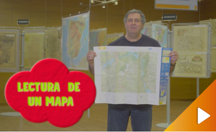
¿Sabes interpretar un mapa?
Todas las claves para entender la simbología, rotulación, escala y representación del relieve en el Mapa Topográfico Nacional se encuentran en este vídeo. Año de creación: 2019.
https://youtu.be/kx2Bit8te1s
¿Utilizas los recursos digitales de Europeana en tus clases? ¿Quieres hacerlo pero no sabes por dónde empezar? ¿Buscas nuevas ideas para crear tus propios escenarios de aprendizaje?
En el blog Teaching with Europeana, encontrarás un catálogo de escenarios pedagógicos listos para usar en tus clases, organizados por materia y nivel educativo/edad, muchos de ellos con enfoque STEM. Se van actualizando cada semana. Además, ¡estás de suerte! En la actualidad, ya puedes consultar algunos escenario...
Ya está abierto el plazo para inscribirse en el MOOC “Europeana en el aula: construyendo las competencias del siglo XXI con el patrimonio cultural digital”, que tendrá lugar entre el 16 de marzo y el 21 de abril de 2020.
Este curso está pensado para docentes como tú, que quieren sacar el máximo provecho al patrimonio cultural digital disponible en Europeana. A través de él, podrás, así, conocer todos los materiales y recursos disponibles en esta red, al tiempo que aprenderás cómo integrarl...
Dada la excepcional situación en el ámbito educativo español, en este artículo, te queremos recomendar dos sitios webs en los que puedes localizar recursos y diversas informaciones de utilidad para la enseñanza a distancia:
Aprendo en casa: web puesta en marcha por el Ministerio de Educación y Formación Profesional en la que se canaliza información sobre recursos, materiales, herramientas, aplicaciones, etc, para familas, alumnado y docentes. De igual modo, hay una sección en la que se inclu...
Instituto Geográfico Nacional - Centro Nacional de Información Geográfica
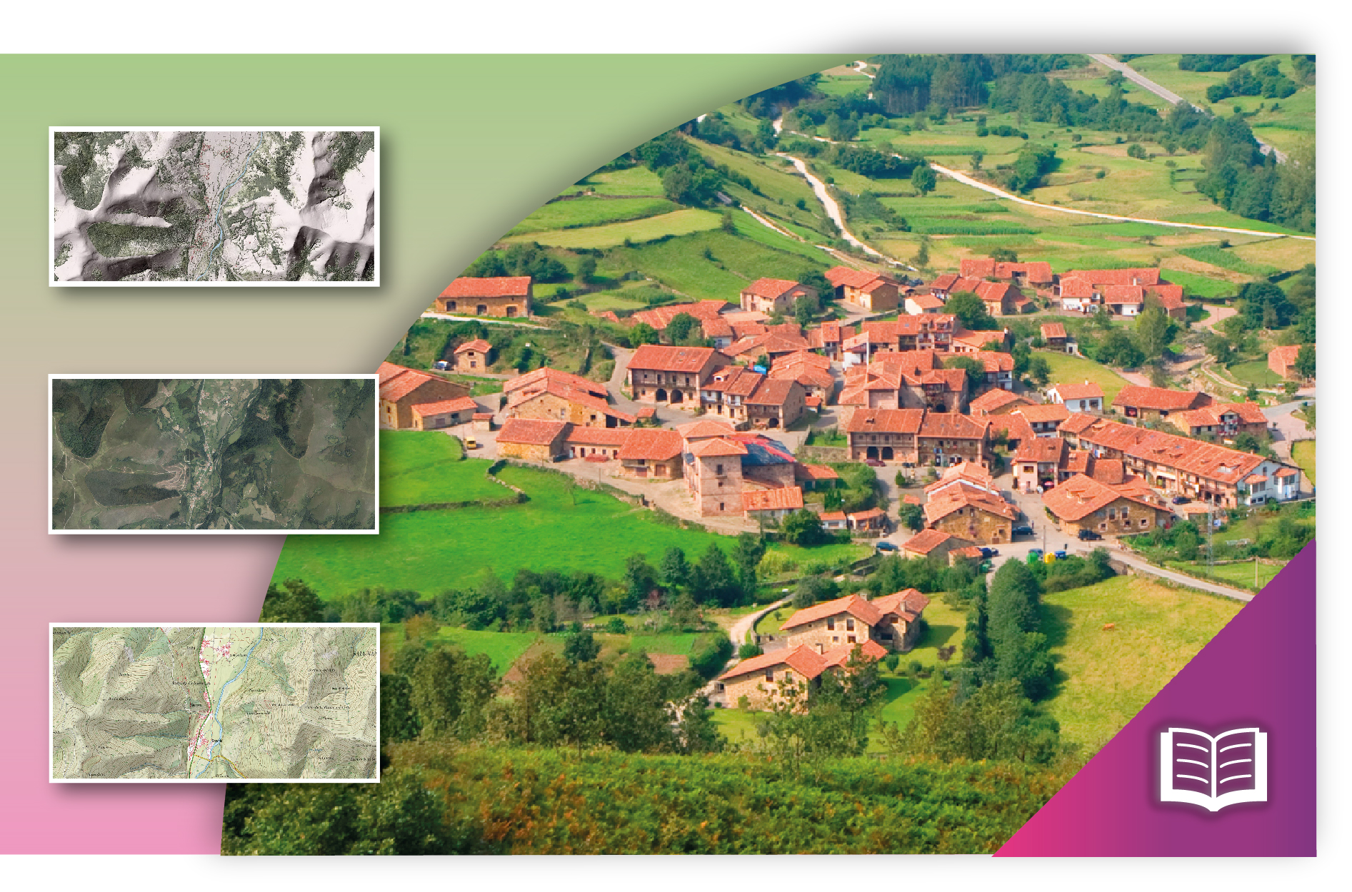
Conjunto de actividades sobre paisaje, toponimia, riesgo ambiental, geomorfología, etc. para trabajar con visualizadores cartográficos. Incluye una guía de uso del visualizador Iberpix.
https://www.ign.es/web/resources/acercaDe/libDigPub/actividades-geografia-IGN.pdf
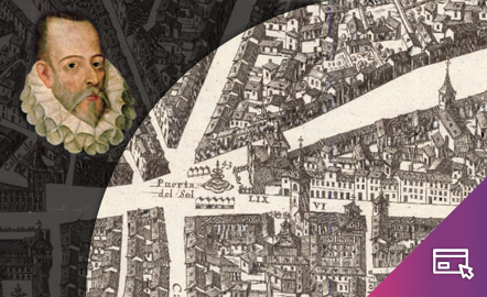
Instituto Geográfico Nacional - Centro Nacional de Información Geográfica
Visualizador interactivo que, sobre el plano de Pedro Texeira (1656), permite recorrer el Madrid del siglo XVII en el que vivieron Miguel de Cervantes y otros personajes del Siglo de Oro.
http://www.ign.es/web/visualizador_cervantes/#map=16/-412438.71/4927164.56/0
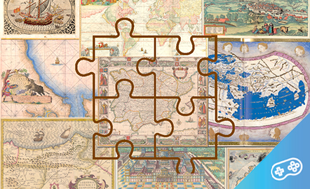
Instituto Geográfico Nacional - Centro Nacional de Información Geográfica
Si te gustan los mapas y los puzles, puedes disfrutar de estas dos pasiones realizando puzles virtuales de mapas antiguos. ¡Prueba tu habilidad!
https://www.jigsawplanet.com/cartotecaign/mapas-antiguos
Instituto Geográfico Nacional - Centro Nacional de Información Geográfica
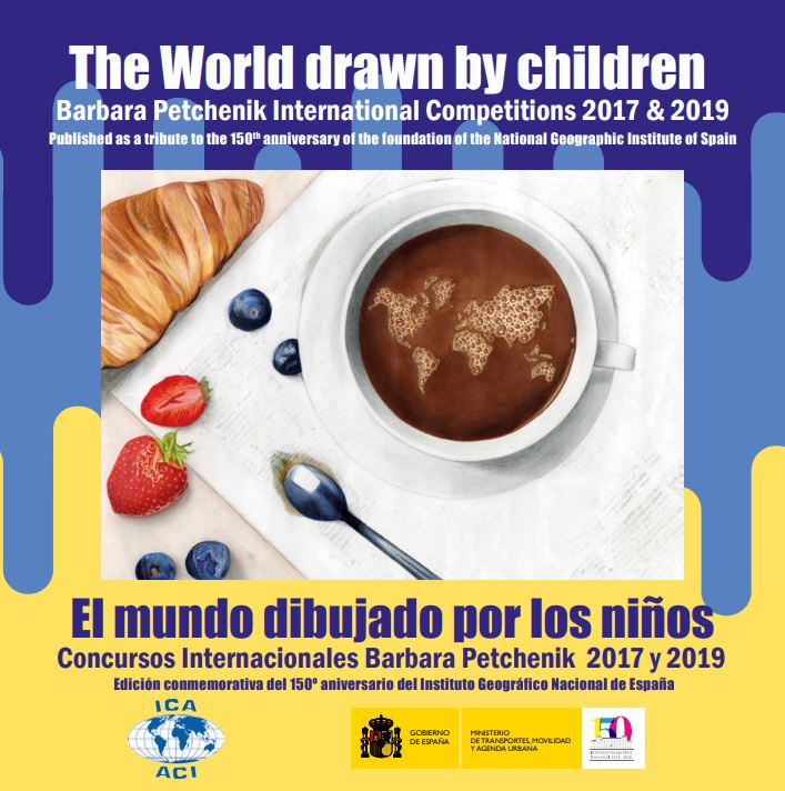
ElInstituto Geográfico Nacional(IGN) y elCentro Nacional de Información Geográfica(CNIG) han hecho coincidir la publicación del libro «The World drawn by children. Barbara Petchenik International Competitions 2017 & 2019 / El mundo dibujado por los niños. Concursos Internacionales Barbara Petchenik 2017 y 2019» con elDía Internacional de la Mujer y la Niña en la Ciencia, pararendir homenajea todas lasmujeres y niñasdedicadas o interesadas en laGeografía y la Cartografía. Suversión digit...
He aquí el trabajo presentado como proyecto Flipped Classroom, en la que se trabaja con esta metodología y la de ABP. Es un trabajo multidisciplinar, en la que están implicadas las áreas de Ciencias Sociales, Valores éticos, Matemáticas, Lengua castellana y mi especialidad: la Educación Física.
En este proyecto se trabaja durante 4 semanas de manera coordinada a 2 sesiones por semana cada área de conocimiento. El objetivo es aprender a actuar ante una emergencia sea del tipo que sea, siguiend...
El grupo B4 del curso de ABP hemos creado un proyecto para 5º de primaria en el que se incluyen las áreas de ciencias sociales, naturales, lengua, matemática y educación física. En él tratamos la problemática de la sequía que afecta a nuestro país y se pretende que el alumnado tome conciencia de la importancia de cuidar el planeta.
Dejo el enlace al proyecto. Espero que os guste.
https://drive.google.com/file/d/0B4DnpI-Ey4HlY254bVdjRjJsaE0/view?usp=sharing
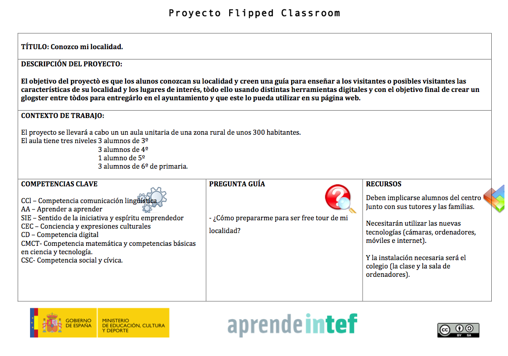
Este proyecto comenzó siendo un proyecto de ABP, pero he utilizado los nuevos conocimientos adquiridos con el curso de Flipped para completarlo y enriquecerlo.
El proyecto está pensado para un aula unitaria de varios nives de 3º a 6º de primaria de una zona rural, abarca vaias áreas y su temporalización es durante el primer trimestre escolar.
En él además de exponer el tema de la localidad y el ayuntamiento a través de un video que los alumnos pueden visionar en sus casa, el objetivo final ...
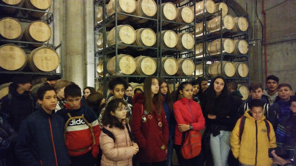
El proyecto impulsará en el centro múltiples experiencias multidisciplinares de aprendizaje activo que permitan conocer la cultura social y económica del entorno agrícola e industrial de Viana relacionadas con la vid y potenciar la responsabilidad de sostenibilidad del medio ambiente, la convivencia y la diversidad.
Video de la actividad
Mi aportación a este portal de recursos educativos tan interesante, consiste en un Proyecto educativo a realizar en el tercer curso de 3º de la ESO, en la asignatura de Geografía e Historia, y que describo en mi blog, lo podéis ver en el siguiente enlace:https://flippeandolahistoria.blogspot.com/2019/04/mi-proyecto-flipped.html. Basicamente consiste en la elaboración, de unos carteles digitales de campaña de cara a la celebración de unas elecciones euopeas ficticias. Dichos carteles, se c...
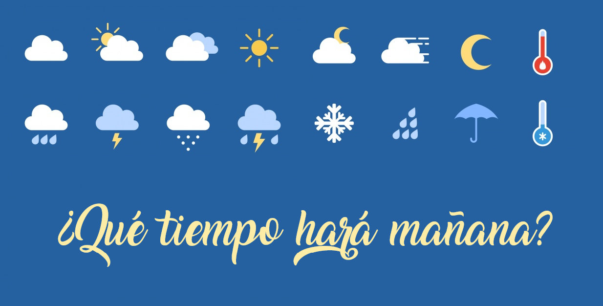
Buenas compañeros, aquí os dejo un enlace a mi blog con el proyecto "¿Qué tiempo hará mañana?".
https://rinconrobotic.blogspot.com/2019/05/proyecto-flipped-classroom-finalizacion.html
Como veréis, se trata de una presentación del tiempo de una localidad en concreto, para la cual deben aplicarse los conocimientos aprendidos durante el tema y se harán uso de diferentes herramientas TIC
Instituto Geográfico Nacional - Centro Nacional de Información Geográfica
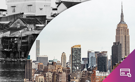
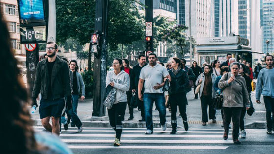
Cómo los mapas ayudan a identificarlos.
Este recurso interactivo y didáctico ofrece la posibilidad de conocer a través de los mapas los desequilibrios territoriales en los que convergen factores de tipo económico, político, social y geográfico, y que se manifiestan en profundas diferencias en la distribución espacial de la población, de la riqueza, del empleo, de los recursos, de las infraestructuras, etc. Estos desequilibrios se producen a diferentes escalas: mundial, europea y nacional y...
Los alumnos de 3ºESO del IES Ifach ponemos en marcha un nuevo proyecto a partir delREA ¿Viajamos por España con ARCGIS?
Todo el planteamiento didáctico, la programación y los objetivos de nuestro proyecto están disponibles en laguía / programación didáctica.
Nuestro proyecto será crearuna aplicación web “Story Map Cascade” realizada enArcGISOnline con rutas de naturaleza por España.
ACCESO AL ARTÍCULO
En este REA delproyecto EDIA para Geografía e Historialos alumnos trabajan y aprenden mientras diseñan un viaje por distintos países y crean una guía para el viajero.
Elegir destinos de viaje, analizar la realidad económica y social de distintos países o recopilar recursos informativos son algunos de los retos que los alumnos tendrán que resolver en esta secuencia didáctica.
ACCESO AL ARTÍCULO
El presente artículo se realiza dentro del cursoCreación de recursos educativos abiertos para la enseñanza, en elprograma formativo online de la Consejería de Educación de la Junta de Extremadura.
El recurso elegido para el análisis es LA TIERRA: Nuestro mundo, nuestro planea escogido del portalCREA, su dirección es https://emtic.educarex.es/crea/ccss/ccss_latierra/index.html
Comenzar destacando en cuanto a su estructura y organización, el recurso muestra una completa estructura de objetivo...